![Humminbird SmartStrike Dakota/Nebraska V2 [600034-2]](https://www.fillrhishop.com/wp-content/uploads/2022/07/79782XL_1080x1080-100x100.webp)
![Humminbird LakeMaster PLUS - Wisconsin - Version 3 [600025-8]](https://www.fillrhishop.com/wp-content/uploads/2022/07/79774XL_1080x1080-100x100.webp)
![Humminbird LakeMaster PLUS - Western States - Version 2 [600011-5] Cartography](https://www.fillrhishop.com/wp-content/uploads/2022/07/79771XL_1080x1080.webp)
Humminbird LakeMaster PLUS – Western States – Version 2 [600011-5] Cartography
Original price was: $149.99.$95.99Current price is: $95.99.
- No Compromise on Quality
- Safe Payments, Happy Customers
- Safe Transactions, Always
- Multiple payment options for secure shopping with SSL

LakeMaster PLUS – Western States – Version 2
For an added angling advantage, opt for Humminbird LakeMaster PLUS. These maps include all of the features of LakeMaster with one key addition: aerial photography of high definition lakes, providing visibility to docks, buildings, and structure.
You also get the choice of how you view the aerial imagery:
- AERIAL ONLY – Satellite view over all land and water, no map data
- LAND AERIAL + LAKEMASTER MAP – Satellite over land surrounding lake, LakeMaster map on water area
- FULL AERIAL + CONTOURS OVERLAY – Satellite over land and water, contour data overlay on water
Be the first to review “Humminbird LakeMaster PLUS – Western States – Version 2 [600011-5] Cartography”
Related products
All Freshwater Lures

All Freshwater Lures
All Freshwater Lures
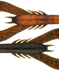
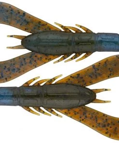
Fillet And Release Fishing Co. All Freshwater Lures Googan Baits Krackin’ Craw
All Freshwater Lures
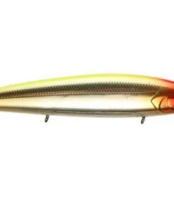
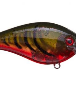
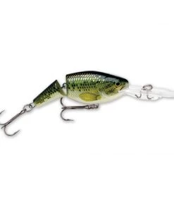
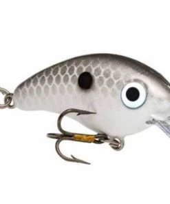
Fillet And Release Fishing Co. Strike King KVD 1.5 Square Bill Silent Crankbait All Freshwater Lures
All Freshwater Lures
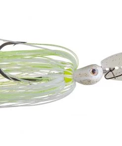
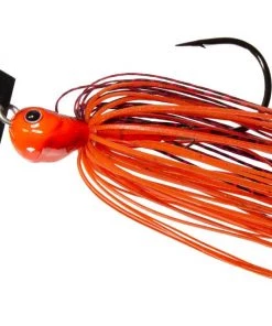
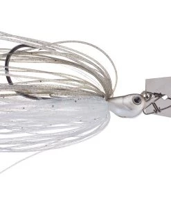
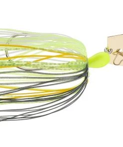
Fillet And Release Fishing Co. Z-Man Original Jack Hammer ChatterBait All Freshwater Lures
All Freshwater Lures
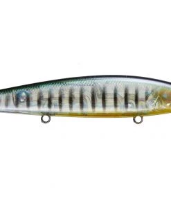
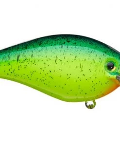
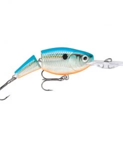
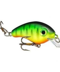
Fillet And Release Fishing Co. Rapala Jointed Shad Rap All Freshwater Lures
All Freshwater Lures
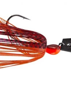
Fillet And Release Fishing Co. All Freshwater Lures Z-MAN The Original ChatterBait
All Freshwater Lures
Reviews
There are no reviews yet.