![Garmin BlueChart G3 Vision HD - VEU723L - France - MicroSD/SD [010-C1157-00]](https://www.fillrhishop.com/wp-content/uploads/2022/07/70132XL_1080x1080-100x100.webp)
![Cartography Humminbird LakeMaster Chart - Midsouth States V5 [600009-9]](https://www.fillrhishop.com/wp-content/uploads/2022/07/73691XL_1080x1080-100x100.webp)
![C-MAP 4D SA-D500 Costa Rica To Chile To Falklands [SA-D500] Cartography](https://www.fillrhishop.com/wp-content/uploads/2022/07/71429XL_1080x1080.webp)
C-MAP 4D SA-D500 Costa Rica To Chile To Falklands [SA-D500] Cartography
Original price was: $339.00.$95.99Current price is: $95.99.
- No Compromise on Quality
- Safe Payments, Happy Customers
- Safe Transactions, Always
- Multiple payment options for secure shopping with SSL

4D SA-D500 Costa Rica to Chile to Falklands
C-MAP charts have long been held in high regard by boaters because they combine aesthetically pleasing vector electronic charts with reliable sources. With the backing of Jeppesen’s parent company Boeing, a well-respected multibillion dollar global company, boaters can be assured that C-MAP charts are of the highest standard.
C-Map 4D will provide boaters with charts packed additional features such as raster chart views or Satellite images to maximize situational awareness.
Coverage Area:
Costa Rica to Chile and the Falklands
Features:
- Vector cartography
- Tidal heights
- Currents/Tidal flows
- Animated currents
- Marina charts
- C-Marina ports database
- California MPAs
- Coastal Roads
- Aerial Photos
- Land Elevations
- NavAids
- Multi-language charts
- TrueType font
- Depth Contours
- Online updates
- Explorer® charts
- Wavey Line charts
Specifications:
- Card Format: MicroSD/SD
- Box Dimensions: 1″H x 6″W x 10″L WT: 0.1 lbs
Be the first to review “C-MAP 4D SA-D500 Costa Rica To Chile To Falklands [SA-D500] Cartography”
Related products
All Freshwater Lures
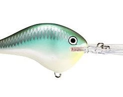
Fillet And Release Fishing Co. All Freshwater Lures Yo-Zuri 3DB Popper Lure
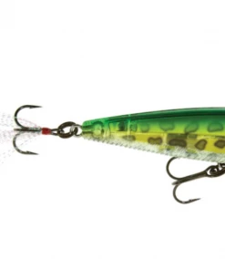
All Freshwater Lures
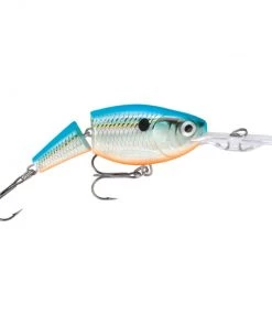
Fillet And Release Fishing Co. Rapala X-Rap XR-10 Diving Jerkbaits
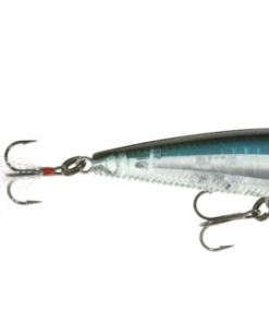
All Freshwater Lures
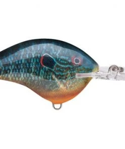
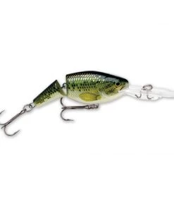
Fillet And Release Fishing Co. All Freshwater Lures Rapala DT Series Crankbaits
All Freshwater Lures
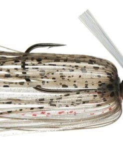
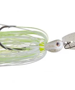
Fillet And Release Fishing Co. All Freshwater Lures Strike King Hack Attack Heavy Cover Swim Jig

All Freshwater Lures
All Freshwater Lures
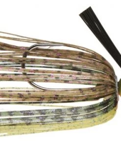
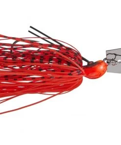
Fillet And Release Fishing Co. Z-Man Crosseyez Chatterbait All Freshwater Lures
All Freshwater Lures
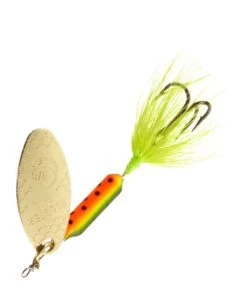
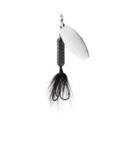
Fillet And Release Fishing Co. All Freshwater Lures Worden’s Original Rooster Tail
All Freshwater Lures
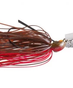
Fillet And Release Fishing Co. Rapala Jointed Shad Rap All Freshwater Lures
Reviews
There are no reviews yet.